
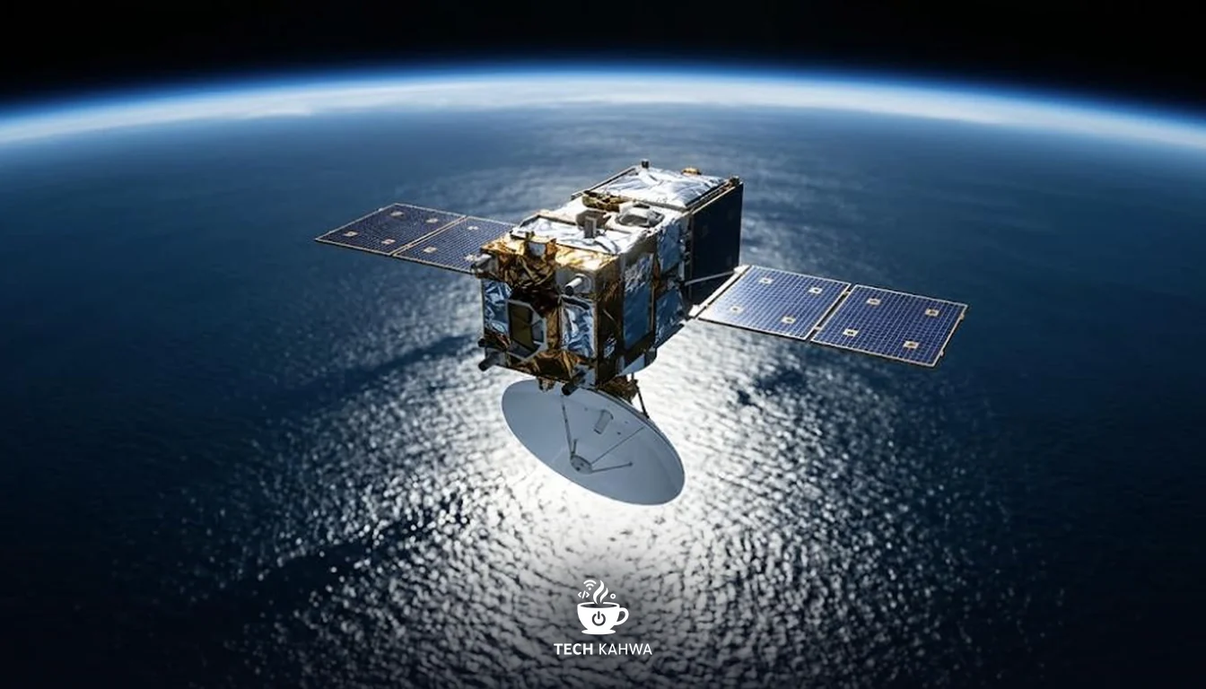
A new satellite built to track rising seas is now in orbit. Sentinel-6B lifted off on a Falcon 9 rocket from Vandenberg in California, and it is designed to measure sea levels down to roughly an inch for about 90% of the world’s oceans. It will take over from its twin, Sentinel-6 Michael Freilich, as the reference satellite for ocean height.
What happened
NASA’s Sentinel-6 mission blog reports that the launch took place at “9:21 p.m. PST on November 16, 2025 (12:21 a.m. EST Monday, November 17)” from Space Launch Complex 4E at Vandenberg. So depending on where you were watching, the launch happened late on Sunday or in the first minutes of Monday.
The satellite is a joint effort between NASA, the European Space Agency (ESA), EUMETSAT and the US National Oceanic and Atmospheric Administration (NOAA), under the European Union’s Copernicus programme.
Sentinel-6B has a twin already in space. Sentinel-6 Michael Freilich launched on 21 November 2020, and today it is the reference sea-level satellite. Sentinel-6B will replace it in that role. During its commissioning period, the new satellite will fly “30 seconds behind its twin”, according to NASA and JPL.
What caught my attention is how unglamorous and important this job is. There are no pretty pictures here. The value comes from patient, precise measurements repeated over years.
How it works: a radar tape measure from orbit
The core instrument is a radar altimeter, the large dish that points straight down at the ocean. It sends a radar pulse to the sea surface and times how long the reflection takes to come back. Because the satellite’s own position is known very precisely, that travel time turns into the height of the ocean surface below it.
Think of a laser tape measure that you point at the ceiling to measure a room. It fires a beam, times the reflection and gives you the distance. Sentinel-6B does the same thing from orbit, pointed at a moving, wavy sea, while travelling at 4.5 miles per second. It completes one orbit every 112 minutes, which lets it sweep across most of the world’s oceans again and again.
The “30 seconds behind” formation has a clear purpose. When two satellites measure almost exactly the same stretch of ocean almost at the same time, scientists can compare the two instruments side by side and line up any small differences. That way, when the new satellite takes over, the long record does not jump or drift because of a change in hardware.
By the numbers
| Item | Figure | Source |
|---|---|---|
| Launch time, California | 9:21 p.m. PST, 16 November 2025 | NASA Science blog |
| Launch time, US East Coast | 12:21 a.m. EST, 17 November 2025 | NASA Science blog |
| Measurement precision | Roughly an inch | NASA Science blog |
| Ocean coverage | About 90% of the world’s oceans | NASA Science blog |
| Mass with propellant | About 2,600 pounds | NASA JPL |
| Time for one orbit | 112 minutes | NASA JPL |
| Orbital speed | 4.5 miles per second | NASA JPL |
| Gap behind twin during commissioning | 30 seconds | NASA; JPL |
| Twin satellite launch date | 21 November 2020 | NASA; JPL |
Why it matters
Sea level is one of the clearest signals of a warming planet, and it is measured in small amounts that add up. A single satellite cannot build a long record on its own; it takes a chain of satellites handing over from one to the next without a gap. Sentinel-6B is the next link in that chain.
The effect is felt on coastlines. Coastal cities around the world, including those across the Gulf, depend on good sea-level data for planning ports, defences and building rules. In my view, a satellite like this is quiet infrastructure: most people will never hear of it, but planners and scientists will rely on its numbers for years.
There is also a good lesson in the partnership. Partners on both sides of the Atlantic, from space agencies to weather and ocean organisations, are sharing one mission, because no single body can easily keep a global record running alone.
What comes next
Sentinel-6B now begins commissioning, the period when engineers switch on and check its systems. During this phase it will fly 30 seconds behind Sentinel-6 Michael Freilich, and teams will compare the two satellites’ measurements to make sure they agree. Once that work is done, Sentinel-6B is set to take over as the reference sea-level satellite.
For now, the job is to check that the new tape measure reads the same as the old one.
Sources
- NASA Science, Sentinel-6 blog, “Liftoff: Sentinel-6B journeys to orbit”, 17 November 2025, https://science.nasa.gov/blogs/sentinel-6/2025/11/17/liftoff-sentinel-6b-journeys-to-orbit/
- NASA JPL, “NASA, European partners set to launch Sentinel-6B Earth satellite”, November 2025, https://www.jpl.nasa.gov/news/nasa-european-partners-set-to-launch-sentinel-6b-earth-satellite/
- ESA, “Sentinel-6B lifts off to continue sea-level record”, November 2025, https://www.esa.int/ESA_Multimedia/Images/2025/11/Sentinel-6B_lifts_off_to_continue_sea-level_record